About
 Minodrone is a complete drone solution for the mining industry. With the mining industry so dynamic in nature, and
continuous change in the surface, the satellite maps can prove to be of no use and also a very costly solution. With
the drone map, you can monitor the changing landscape of the mine and plan your next move on a latest updated map.
Minodrone is a complete drone solution for the mining industry. With the mining industry so dynamic in nature, and
continuous change in the surface, the satellite maps can prove to be of no use and also a very costly solution. With
the drone map, you can monitor the changing landscape of the mine and plan your next move on a latest updated map.
We offer you complete end to end Drone-as-a-service (DAS)model specially made to suit the needs and changing
requirements of the mining industry.
How we do it
We offer a complete end to end solution for your mine for using the drone survey. We fly the drone for you, gather the data, analyze it and generate the maps in different formats for you to use it directly. We offer our online tool with your map, so that you can use the map for any planning related operation.
Gather initial data for flight.
Plan the flight.
Flying the drone
for data collection
Post processing for generation of different types of maps
Easy to use online tool to use the map for any of your use.
Advantages
- 3D Map of the area can be generated
- Multiple digital Map formats: Contour Map, Orthomosaic Map, Digital Terrain Map
- Time spent in doing the survey is greatly reduced
- Geo- Referenced images
- History of changes in map
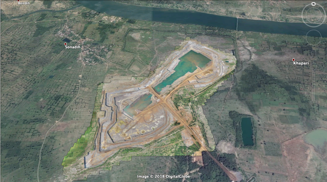
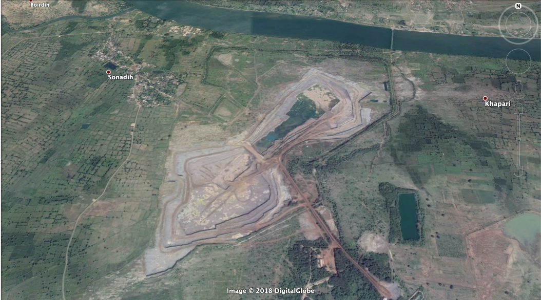
Google map vs Drone map
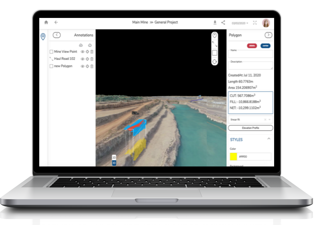
Online Map Planing Tool MinoPlan
Simple and powerful cloud software for planning on the drone map. Every tool made to give you the output you need from your drone map. Plan, measure, execute and mark anything on the map. New map updated on the same platform to help you monitor the changes.
Get in touch and to discuss the requirements
or book a demo.
Let us show you how Minocular can help your mines to achieve the desired outputs.
Contact us