MinoPlan

Home>MinoPlan

MinoPlan

We Provide a online web based tool MinoPlan by which you can track and measure your mine or quarry and use it for day to day planning of mining operation on real time drone map.

Onboard Moving Mine Map Gives the Big Picture:- Operators, dispatchers and supervisors can view a moving map of the entire mine site displaying all equipment in real-time using our MinoFleet system. There are multiple map layers for each type of equipment, dumps, blasts, roads and more. Users can enable or disable layers to suit their preferences or requirements.

MinoFleet
MinoFleet

Real time 2D/3D maps

MinoFleet

Timeline Tool who see changes in mine sites over the time

MinoFleet

Import Drone map (KML) into Google Earth.

MinoFleet

Improvement in Compliance with respect to Production plan approved by IBM by importing mine plan on our planning tool.

MinoFleet

Real Time alerts for safety on digital drone map.

MinoFleet

Export data for AutoCad or other 3d software.

MinoFleet

Import data from surpac and visualize on digital drone map.

MinoFleet

Measure length , volume, distance , area , angle using our 3d Planning tool.

MinoFleet

Haul road analysis and annotation can done.

MinoFleet

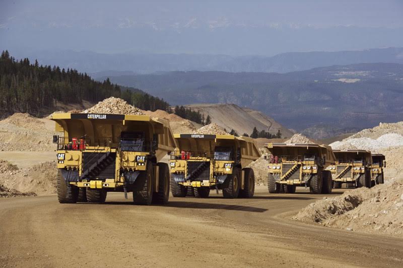
Stockpile volumetric assessment.

Get in touch and to discuss the requirements
or book a demo.

Let us show you how Minocular can help your mines to achieve the desired outputs.

Contact us
Schedule time with us