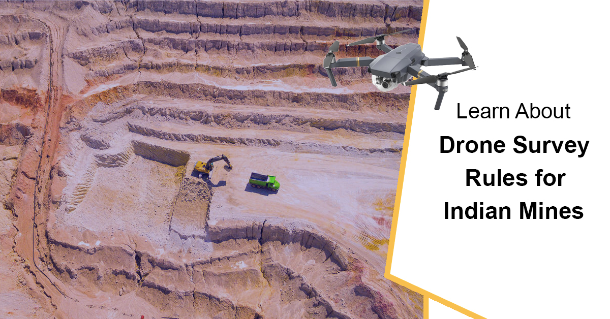
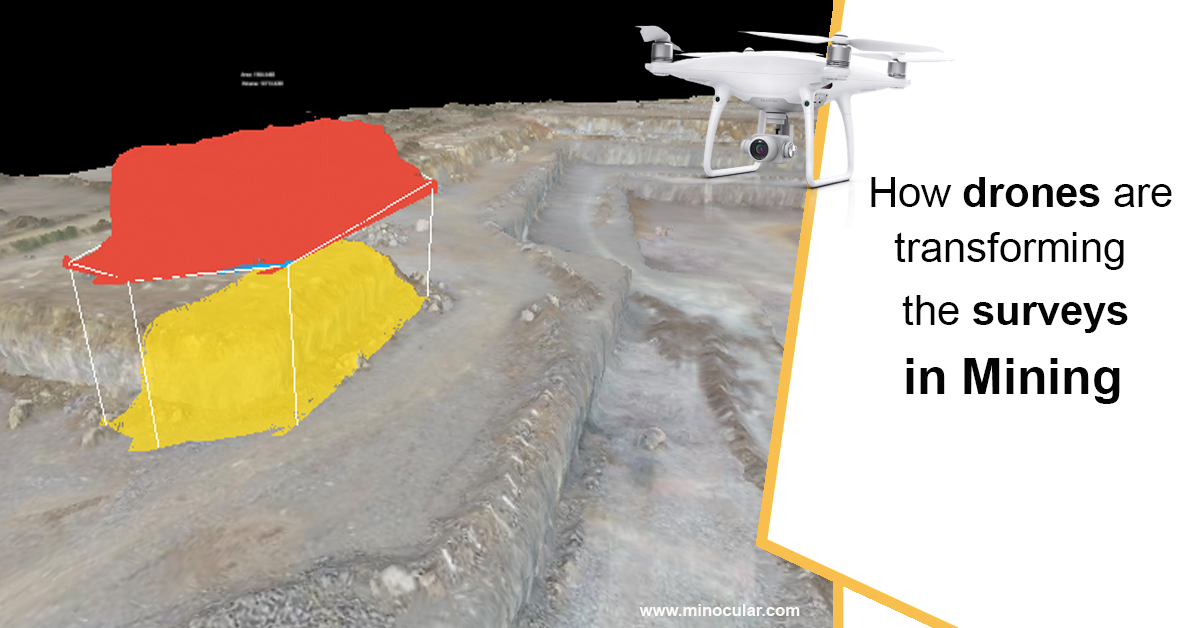
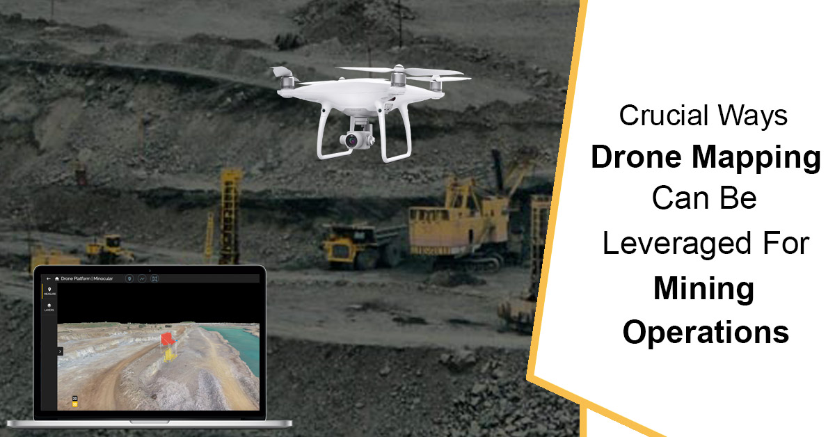
The integration of drone survey technology in open pit mining operations has transformed the way mines are surveyed and managed. By using drones equipped with advanced sensors and cameras, high-resolution images and data of the mine site can be captured, providing a comprehensive and accurate overview of the area. This information is used to identify potential risk zones, plan efficient mining operations, and monitor changes in the site. Additionally, the use of drone technology enhances safety in mines by reducing the need for manual surveys and reducing the risk of accidents. To further support this technology-based monitoring, the Ministry of Mines amended the Mineral Conservation and Development Rules (MCDR), 2017 in 2021, mandating lessees/preferred bidders to submit digital aerial drone/satellite images to IBM.
As per recent amendments made in the MCDR, 2017 on dt. 3rd November 2021, Notification No. G.S.R 780(E), now mines in India need to carry out a drone survey of the mining lease area, this amendment makes clear that Govt of India is intended to regularly track the implementation of proposals of Mining Plan/ Review of Mining Plan within your lease area by implementing latest Drone Survey technology.
The drone data will give the authority a clear 3D picture of your Mining Lease area and surrounding up to 100m.
Check out what has been written in this notification below:-
34A. Digital aerial images of mining lease area.— (1) Every lessee having—
https://mines.gov.in/writereaddata/UploadFile/Noticedated05062021637611643079879217.pdf
(a) an annual excavation plan of one million tonne or more in a particular year; or
(b) leased area of fifty hectare or more,
shall carry out a drone survey of the leased area and upto hundred metres outside the lease
boundary in the month of April or May every year and submit the processed output [digital
elevation model (DEM) and Orthomosaic] images obtained from such survey or any other format as may be specified by the Indian Bureau of Mines in this regard to the Controller General on or
before 1st day of July every year.
(2) Every lessee, other than those covered under sub-rule (1), shall submit soft copy of high
resolution Georeferenced Ortho-rectified Multispectral satellite images of the leased area and upto
hundred metres outside the lease boundary taken in the month of April to June of every year, to the
Controller General on or before 1st day of July of the that year in the standards formats such as
GeoTIFF along with metadata or any other format as may be specified by the Indian Bureau of
Mines in this regard:
Provided that the lessee who has submitted images under sub-rule (3) shall not be required
to submit the images under this sub-rule for the year in which images are submitted under
sub-rule (3).
(3) Every lessee shall carry out a drone survey of his leased area and upto hundred metres outside
the lease boundary within six months before submission of any mining plan document or
modification thereto to the Indian Bureau of Mines for approval and shall submit processed output
[digital elevation model (DEM) and Orthomosaic] images obtained from such survey or any other
format as may be specified by the Indian Bureau of Mines in this regard to the concerned Regional
Controller of Mines and the Controller General along with the application for approval or
modification of mining plan:
Provided that the lessee who has submitted the images under sub-rule (1) on or before the
1
st day of July falling immediately before submission of mining plan document, shall not be
required to submit the same under sub-rule (3).
(4) All preferred bidders who are issued with a letter of intent for grant of a mining lease shall carry
out a drone survey of the mining block granted through auction and upto hundred metres outside
the block boundary and submit the processed output [digital elevation model (DEM) and
Orthomosaic] images obtained from such survey or any other format as may be specified by the
Indian Bureau of Mines in this regard along with the mining plan to the Regional Controller and
the Controller General.
(5) The standard operating procedure for carrying out the drone survey and form of the data to be
submitted shall be specified by the Indian Bureau of Mines from time to time:
Provided that the Indian Bureau of Mines may specify any alternate mechanism for survey
and submission of data or images other than the mechanism specified in sub-rules (1) to (4), in case
of any restriction on use of drones under any law for the time being in force regulating the use of
drones.”.
We are proud to share that, we have been part of the POC drone survey dated 20 Dec 2020 done by IBM Nagpur Zone at Sonadih Limestone Mines (Nuvoco Vistas Corp. Ltd.) before these amendments came. Our efforts were to help IBM facilitate drone surveys in the mine area and provide processed drone data output. Read About it here
Are you ready to embrace the technological change in Mines? Let’s explore the various applications of drone surveys with Minocular.
Learn how drone surveys can help you in your mining operation here.
UPDATE:-
In the Indian Mining industry, the implementation of this work for the first time took place from April to June of 2022. However, the time constraints and insufficient understanding of the processes involved presented numerous challenges for both mine owners and participating agencies.
Based on the Survey Done by us for more them 30000 Hectares area(mines) we have some recommendations for drone surveys in mining as per the rule of MCDR, 2017
From the experience, valuable lessons were acquired, and to improve the process in the future, it is recommended that these insights be integrated into internal standard operating procedures (SOPs) for the upcoming year.
Increased Number of GCPs: The quantity of temporary ground control points (GCPs) was augmented based on the variation in altitude within the lease area.
Alignment of DGPS Base for Temporary GCPs: It is recommended that the temporary GCPs’ DGPS base be synchronized with the permanent GCP base station.
Ground Verification of Drone Output: To validate the accuracy of the drone output, ground truthing using DGPS should be performed at multiple locations.
Avoidance of Drone Surveys in Low Light Conditions: To ensure optimal results, it is recommended to avoid conducting drone surveys during low light conditions, such as before 9 AM and after 4 PM.
Engagement of Local Community: To ensure the success of the drone survey, it is crucial to involve the local villagers and gain their support before the survey begins. This will prevent any unintentional disruption of the temporary GCPs during the survey.
Preparation for Drone Survey: To obtain clear and accurate images during the drone survey, it is recommended to temporarily halt mining operations and move any machinery from the pit or dump area prior to the survey.
Provision of Adequate Technology: It is advisable to install a high-performance system, such as a laptop or PC with advanced graphics capabilities, at the mine office for viewing and analyzing the drone output data. This will allow for a thorough examination of the data for correctness before submission to IBM.
Training of Technical Staff: To evaluate the quality of the drone outputs, it is recommended to train the technical staff, including surveyors, geologists, and mining engineers, in GIS/QGIS software. This will enable them to effectively assess the data.
Preparation of Surface Plan and Land Use Calculations: To ensure consistency and accuracy in the annual return documents, it is suggested to prepare the surface plan and land use calculations based on the valid drone survey outputs. This will reduce any potential ambiguities or discrepancies in the documents.
Taking into account the local weather conditions and prevalent issues, it is in the best interest of all parties to commence the work early and adhere to strict timelines to avoid last-minute delays or interruptions.
See the Action Plan Shared by us here:-


