
Haul Road AI: haul road condition monitoring for opencast mines
{{ answer }}
Truck dispatch itself is on the OITDS page →


Grade per segment, from the drone DSM
The digital surface model gives the true elevation of every 100 m of haul road. The AI converts it to effective grade and flags every segment steeper than the 1:16 design standard. Steeper grades burn more fuel, brakes and tyres on every single trip.
The anatomy of a great haul road
Every Drone Survey flight produces a digital twin of the mine. From it, the AI extracts the four measurements of every haul road: centerline, width, crossfall and grade. It checks them against design standards, flight after flight.
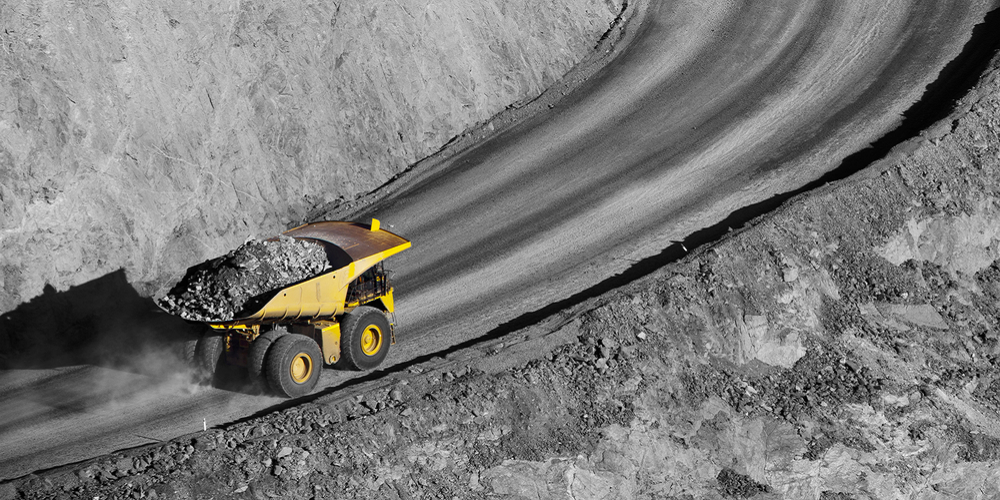
What Haul Road AI watches
{{ s.title }}
{{ s.text }}
Haul roads on the drone platform
Cut and fill against an earlier survey shows where the road and benches changed, and load and dump points mark where dumpers bunch and idle.
Questions about Haul Road AI
{{ f.q }}
{{ f.a }}
Put AI on your haul road.
Fleet Management retrofits onto your existing dumpers and shovels and goes live within weeks.