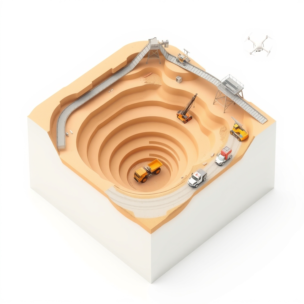
Drone survey maps the lease
Each flight produces an orthomosaic, contour map, digital terrain model and stockpile volumes for the whole lease, without stopping production. Every later step plans on this map.
{{ answer }}
Each flight produces an orthomosaic, contour map, digital terrain model and stockpile volumes for the whole lease, without stopping production. Every later step plans on this map.
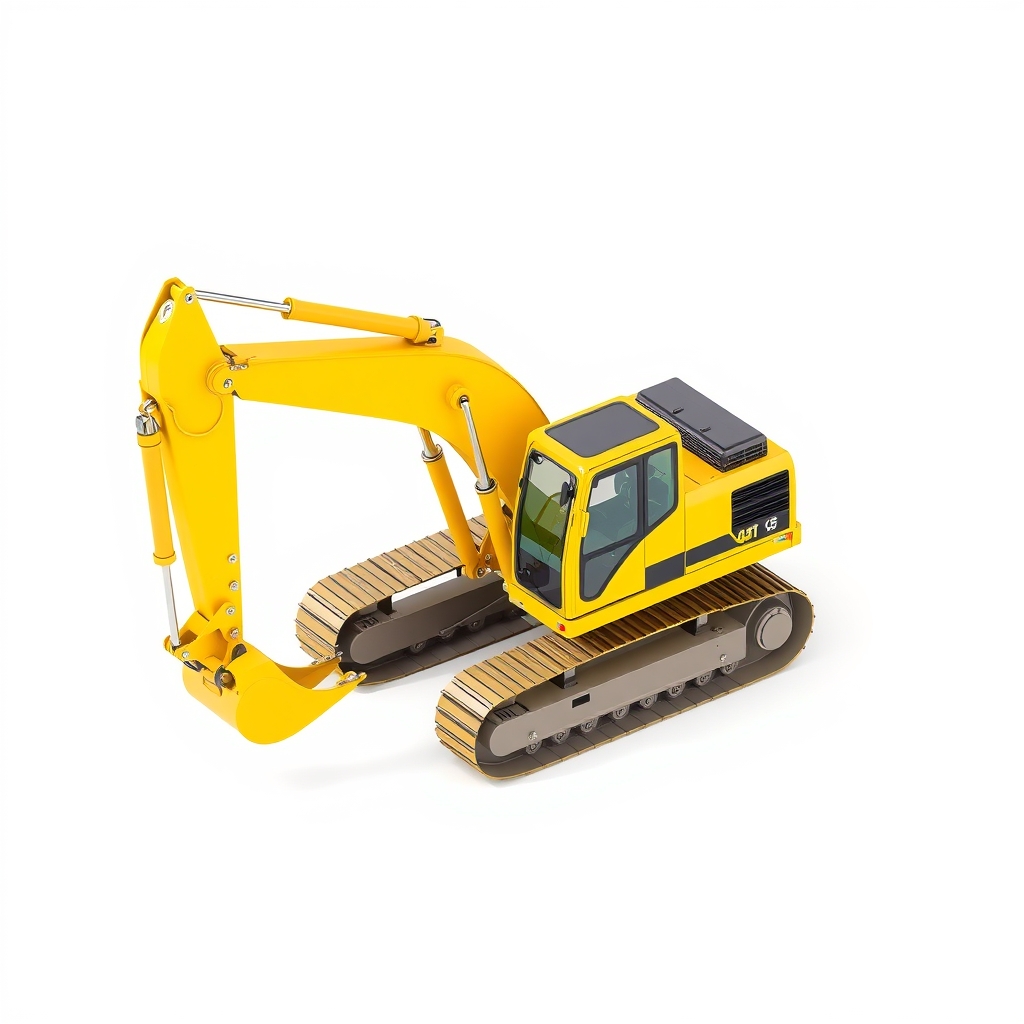
The IBM-approved plan, Surpac data or KML files are laid over each new drone map, so actual excavation is compared with the plan flight by flight.
Depth, burden, spacing and charge are recorded for each hole. The blast area is drawn as a geofence on the drone map, and explosive stock is tracked against the blast.
OITDS assigns every dumper to a shovel from live GPS positions and queue lengths, and the operator sees the assignment on the in-cab terminal.
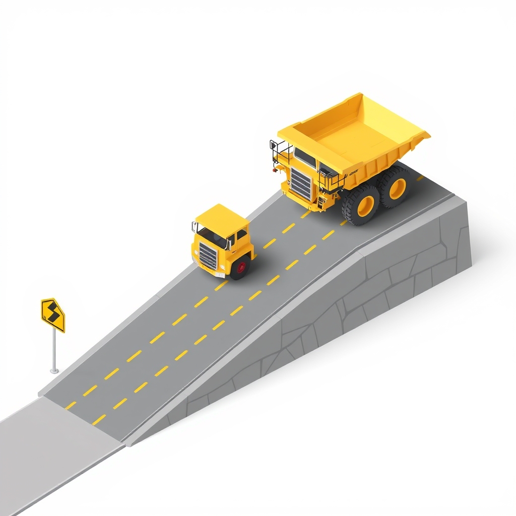
Grade, roughness and dust are tracked per road segment from the drone surface and dumper telemetry. Dashcams watch the road and the operator, and warn in the cab.
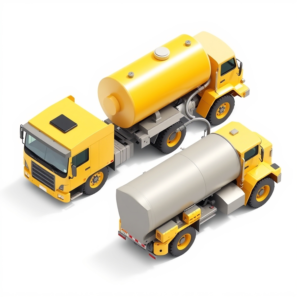
Tank sensors log every refuel and calculate litres per engine hour for each machine. A drop that does not match a refuel or engine running raises a theft alert.
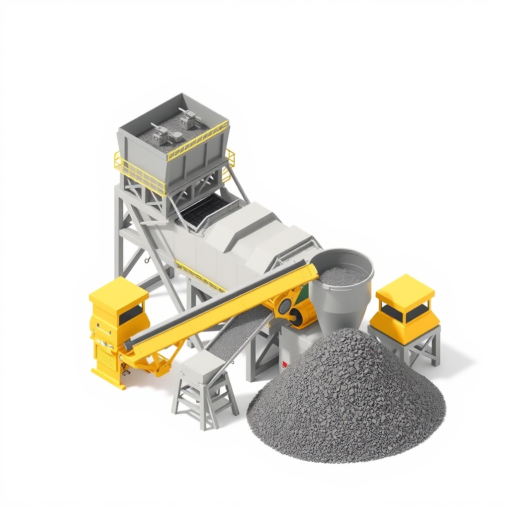
The weighbridge records tonnes per trip and contractor. LSF, SM and AM are tracked by face, and the blend plan sets how many loads come from each face this shift.
Equipment health data streams to the workshop. Preventive services raise alerts before they fall due, and machine learning flags machines heading for failure.
Production, quality, fuel, breakdowns and alerts meet on one dashboard. AI on the site CCTV flags zone intrusions and missing PPE, and DGMS registers fill from the same data.
{{ f.a }}